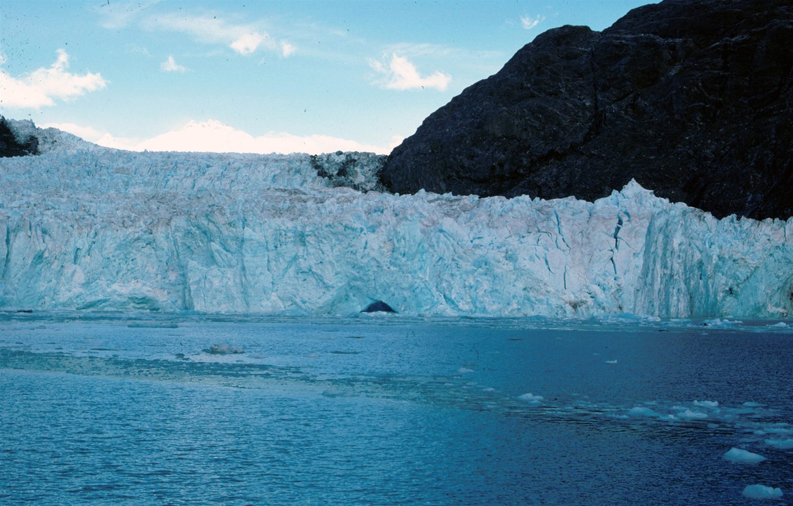
How Fjords Are Created
Fjords are deep, steep-walled coastal inlets carved by glaciers during past ice ages and later flooded by rising seas, leaving some of the most dramatic coastlines on Earth.
Read the full article →Combine filters to find formations by what shaped them, where they occur, and how long they take to form.
1 filter active · 3 results.
Fjords are deep, steep-walled coastal inlets carved by glaciers during past ice ages and later flooded by rising seas, leaving some of the most dramatic coastlines on Earth.
Read the full article →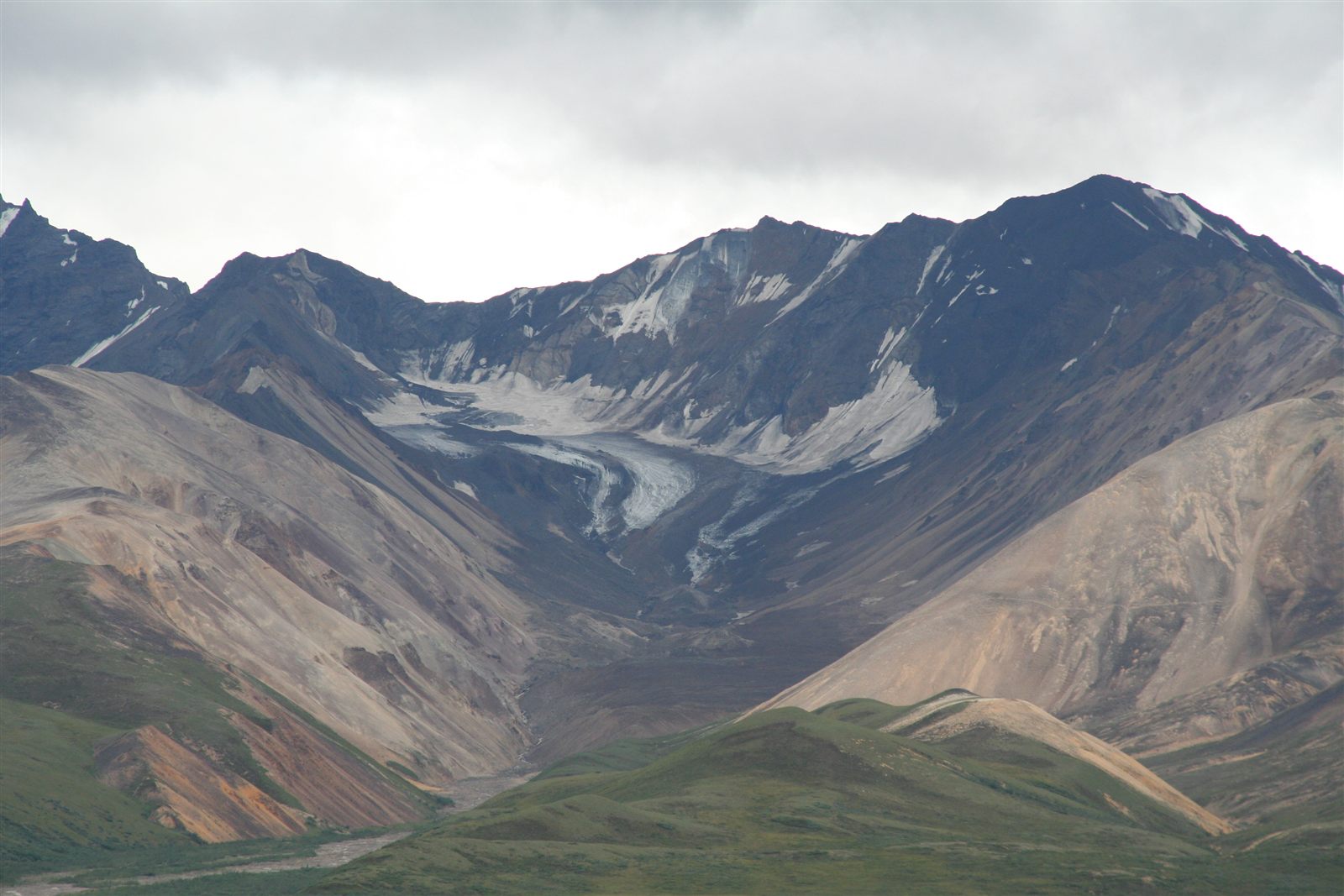
Glaciers are slow-moving rivers of ice that erode mountains into sharp ridges and carve valleys into broad troughs, while depositing the debris they carry along the way.
Read the full article →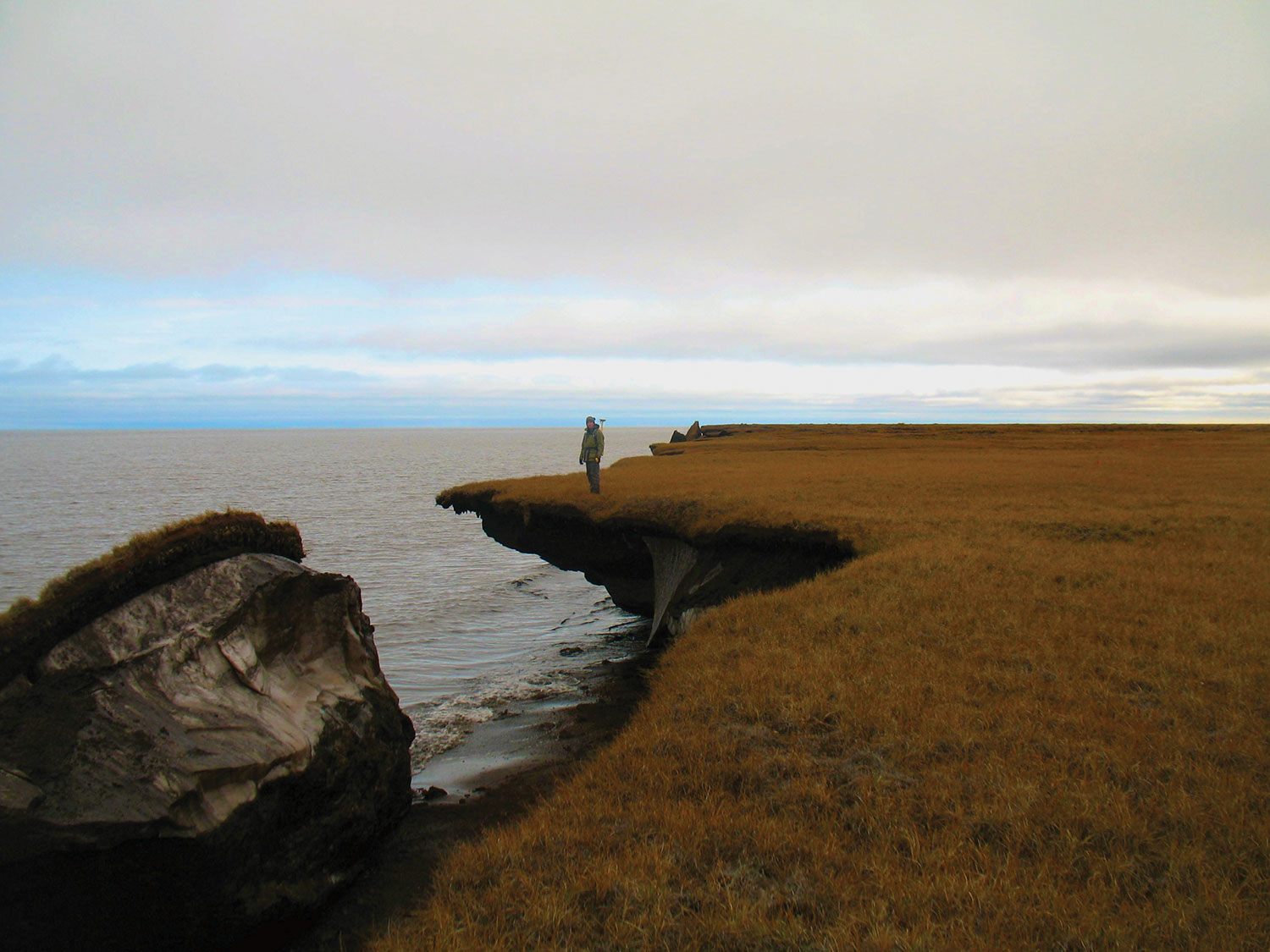
Permafrost is ground that stays frozen for at least two consecutive years, and the seasonal thawing and refreezing of the thin active layer above it shapes a distinctive set of cold-region landscapes.
Read the full article →