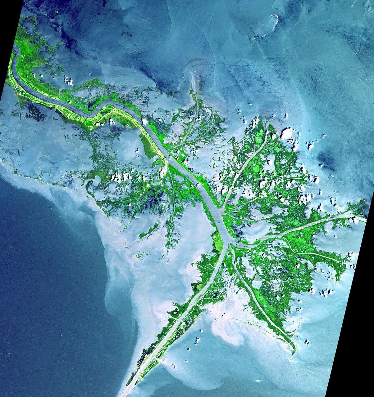
How River Deltas Develop
A river delta forms where a river slows down and spreads out as it meets a sea, lake, or ocean, dropping the sediment it has carried and gradually building new land.
Read the full article →Combine filters to find formations by what shaped them, where they occur, and how long they take to form.
1 filter active · 4 results.
A river delta forms where a river slows down and spreads out as it meets a sea, lake, or ocean, dropping the sediment it has carried and gradually building new land.
Read the full article →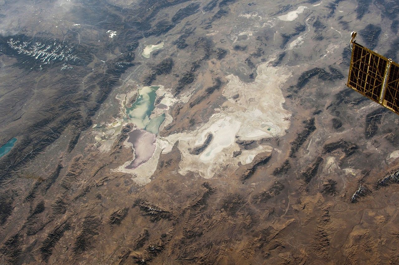
Salt flats form when water collecting in a closed desert basin evaporates repeatedly, leaving behind thick layers of crystallized mineral salts.
Read the full article →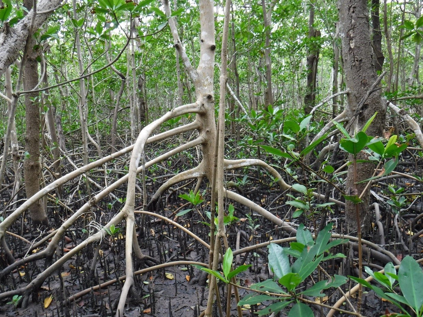
A wetland forms wherever land is saturated with water for long enough that it develops distinct waterlogged soils and water-adapted vegetation, whether beside a river, along a coast, or in a shallow basin.
Read the full article →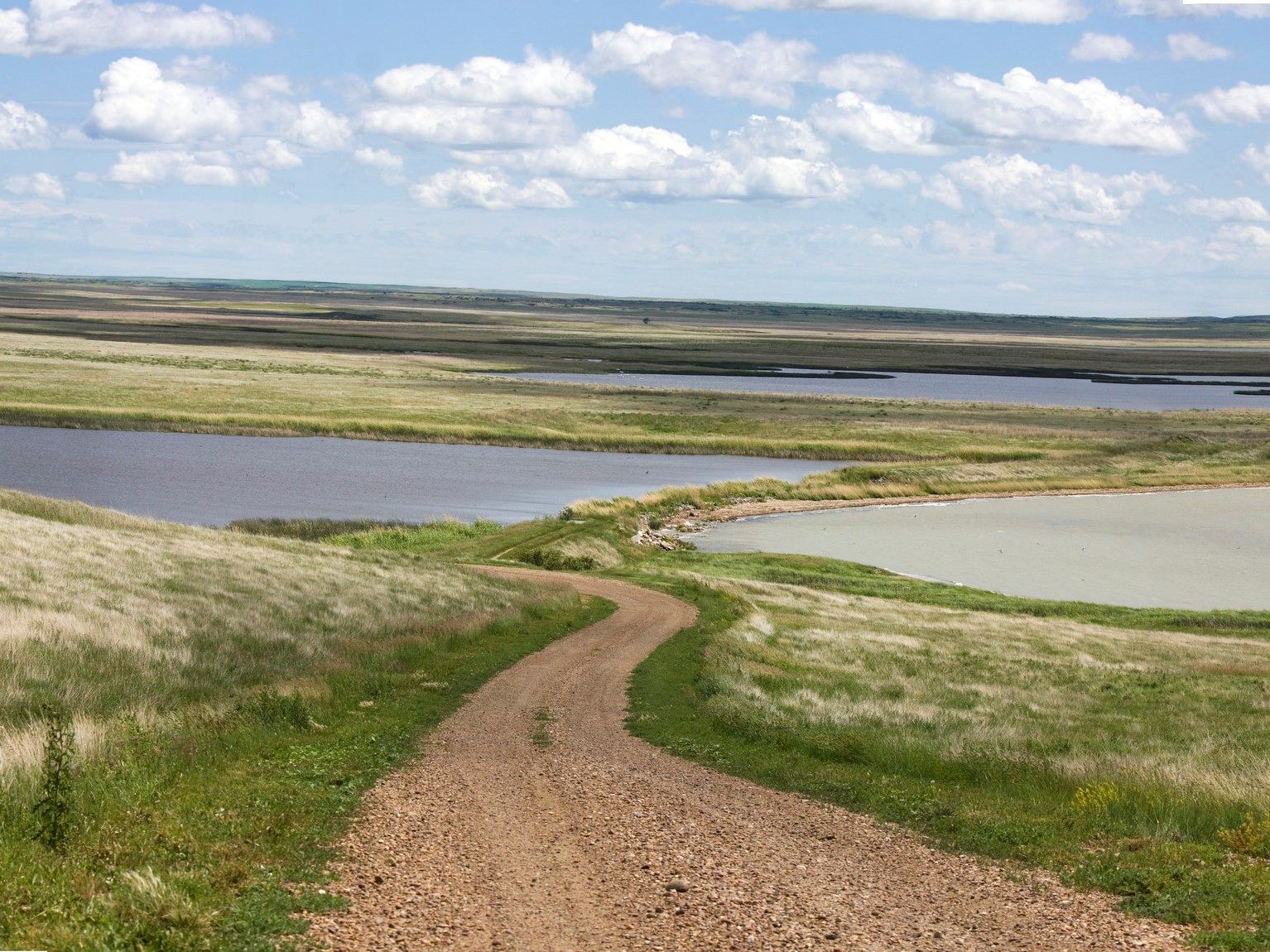
Plains are large areas of relatively flat, low-lying land, built up by long-term sediment deposition, worn down from older uplands, or formed from layered lava flows.
Read the full article →