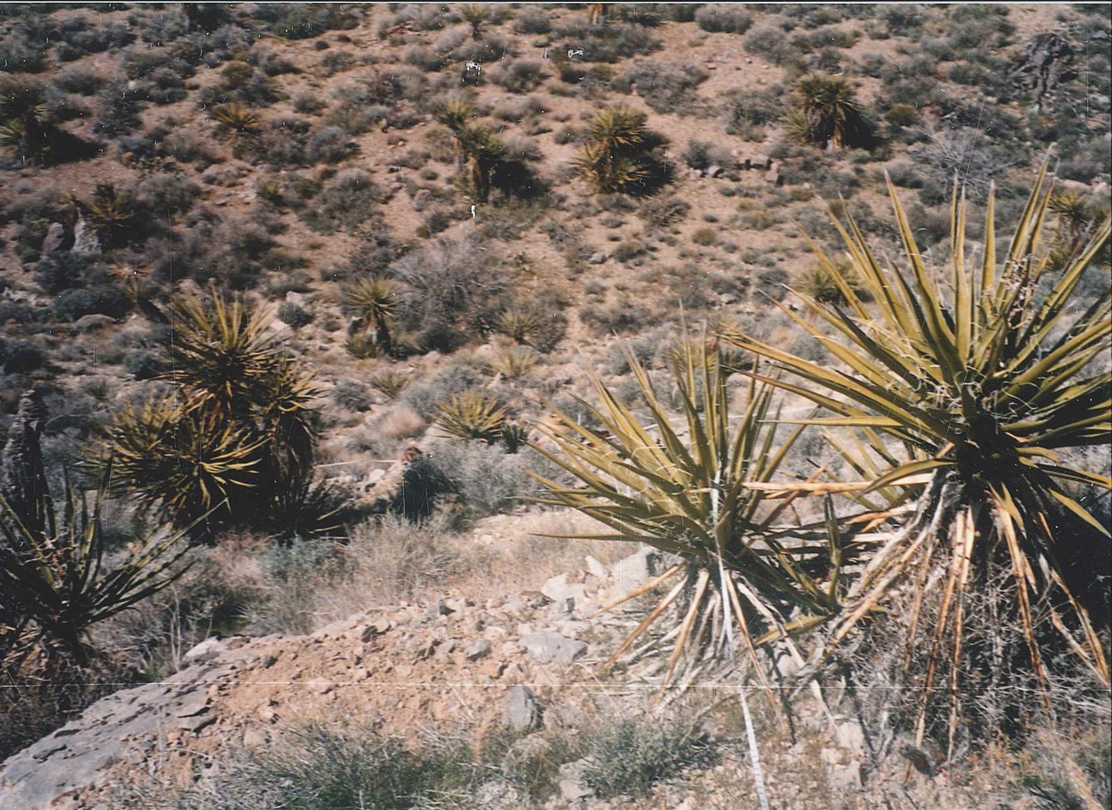
Definition
A desert is a region that receives very little precipitation over the long term, generally defined as an average of less than about 250 millimeters of rain per year, though some classifications use slightly different thresholds. Deserts are often pictured as hot and sandy, but the defining characteristic is dryness, not temperature or terrain — some of the largest and driest deserts on Earth, including parts of Antarctica, are extremely cold. What unites deserts worldwide is that evaporation and water loss consistently exceed precipitation, leaving too little moisture to support dense vegetation or sustained surface water.
How It Forms
Deserts form for several distinct reasons, and large deserts are often shaped by more than one of these causes acting together.
- Global air circulation creates dry zones.
Around 30 degrees north and south of the equator, descending, warming air associated with large-scale atmospheric circulation patterns (the subtropical high-pressure belts) suppresses rainfall, creating some of the world's largest deserts, including the Sahara.
- Mountains block moisture (rain shadow).
When moist air is forced to rise over a mountain range, it cools and drops most of its moisture on the windward side. The leeward side receives dry air, creating a rain shadow desert, as seen east of the Sierra Nevada in North America.
- Distance from oceans limits moisture.
Regions deep in the interior of large continents, far from the ocean moisture that feeds most rainfall, can become deserts simply because there is little source of water vapor nearby, as in parts of central Asia.
- Cold ocean currents suppress rainfall along coasts.
Some coastal deserts, such as the Atacama, form where cold ocean currents cool the air above them, reducing evaporation and suppressing the formation of rain clouds despite proximity to the sea.
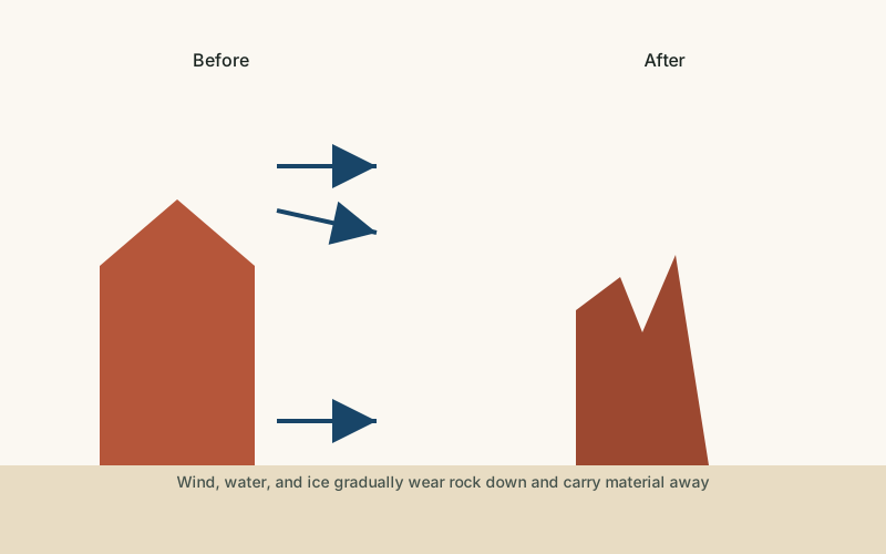
- The dry surface is then shaped by wind and occasional water.
Once a region is established as a desert, its sparse vegetation leaves the ground exposed to wind erosion and to the powerful but infrequent effects of flash flooding, which together sculpt the landscape's dunes, rock formations, and drainage channels.
Formation Timescale
The broad climate conditions that make a region a desert can persist for millions of years, tied to long-term continental positions, mountain ranges, and large-scale air circulation patterns that change slowly. However, the surface features within a desert — dunes, dry riverbeds, and rock formations — can shift on much faster timescales, from single storms that reshape dunes in days to drainage patterns that develop over thousands of years. Some deserts have also expanded or contracted significantly over tens of thousands of years as the planet's overall climate has shifted between glacial and warmer periods.
Main Characteristics
- Low and unreliable precipitation: rainfall is not just low on average but often highly irregular from year to year.
- Sparse vegetation: plant cover is limited and adapted specifically to conserve water, leaving much of the ground surface exposed.
- High rates of evaporation: in most deserts, potential evaporation substantially exceeds the available precipitation.
- Wide temperature swings: with little vegetation or moisture to moderate temperature, many deserts experience large differences between day and night.
- Wind-dominated surface processes: in the absence of regular water flow, wind plays an outsized role in shaping the ground surface compared to wetter regions.
Materials and Structures Involved
Desert surfaces vary widely depending on the underlying geology. Sandy deserts, often what people picture first, are covered in loose quartz or other mineral sand that can be shaped into dunes by wind. Rocky deserts, sometimes called hamada, are covered mainly in exposed bedrock or coarse gravel with little fine sediment. Many large deserts also contain extensive areas of desert pavement, a tightly packed layer of pebbles left behind after wind has removed the finer particles around them over long periods.
Climates and Environments
Deserts occur across a wide range of temperature conditions, from the scorching heat of the Sahara to the freezing cold of the Gobi's winters and the polar deserts of Antarctica, which technically qualifies as the largest desert on Earth by area because of its extremely low precipitation. What all deserts share is not temperature but a persistent moisture deficit. Many desert ecosystems support specialized plants and animals adapted to minimize water loss, and some deserts experience brief, dramatic blooms of vegetation after rare rainfall events.
Real Examples
The Sahara Desert in North Africa is the largest hot desert in the world, shaped primarily by subtropical high-pressure circulation. The Atacama Desert in South America is among the driest places on Earth, a coastal desert kept dry by cold ocean currents and a rain-blocking mountain range. The Gobi Desert in Asia is a cold desert formed largely by its distance from ocean moisture and the rain-shadow effect of the Himalayas and Tibetan Plateau. The Sonoran Desert in North America is a warm desert supporting a notably rich variety of specially adapted plant life, including large cacti.
How It Continues to Change
Deserts are dynamic rather than static landscapes. Dunes migrate with prevailing winds, sometimes by meters per year, and desert boundaries can expand or contract gradually in response to long-term climate shifts and land-use changes, a process often referred to broadly as desertification when human activity accelerates it in bordering semi-arid regions. Rare but intense rainstorms can dramatically reshape desert drainage channels within hours, carrying more sediment in a single flash flood than years of ordinary wind erosion.
Satellite monitoring has made it possible to track desert boundaries and vegetation cover over time with much greater precision than was possible in the past, helping researchers distinguish long-term climate-driven change from shorter-term fluctuations tied to individual wet or dry years. This distinction matters because a single unusually wet or dry period can temporarily make a desert boundary look like it is shifting even when the underlying long-term trend is different.
How It Differs From Similar Formations
Deserts are sometimes conflated with sand dunes, but dunes are just one landform that can occur within some deserts, not deserts themselves — many deserts are rocky or gravel-covered with few or no dunes at all. Deserts are also distinct from salt flats, which form specifically where an enclosed basin has repeatedly collected and evaporated water, concentrating dissolved salts; a salt flat can occur within a desert but is a more specific, localized feature. Badlands share the dryness of deserts but are defined by a particular pattern of rapid, dense erosion into soft rock.
Common Misconceptions
Misconception: All deserts are hot.
Reality: Deserts are defined by low precipitation, not temperature. Antarctica, with its extremely low snowfall, is technically the largest desert on Earth by area.
Misconception: Deserts are always covered in sand dunes.
Reality: Sand dunes cover only a fraction of most deserts; many desert surfaces are rocky, gravelly, or covered in hard-packed desert pavement.
Misconception: Deserts are lifeless, unchanging landscapes.
Reality: Deserts support specially adapted ecosystems and are shaped by active, ongoing wind and water processes, even if those processes are less constant than in wetter regions.
Key Terms
- Erosion — The wearing away and removal of rock, soil, or sediment by natural forces such as water, wind, or ice.
- Deposition — The process by which sediment carried by wind, water, or ice is laid down and accumulates in a new location.
- Dune — A mound or ridge of sand built up by wind, typically found in deserts and along coastlines.
- Evaporite — A mineral deposit, such as salt or gypsum, left behind when a body of water evaporates.
- Weathering — The breakdown of rock in place, through physical, chemical, or biological processes, without the material being transported away.
- Drainage Basin — The area of land where all surface water, from rainfall to streams, drains to a common river or outlet.